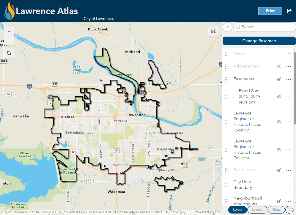
The Lawrence Atlas is a map where users can view information about Lawrence. Search an address, view aerial photography, find historic properties, discover if a property is in the flood plain, measure and draw on the map and print to PDF, JPG or other file formats.
The Download Lawrence Imagery map allows users to search addresses or locations to discover and download aerial imagery files.
Brick Sidewalk Permissive Area Address Lookup
Brick Sidewalk Permissive Area Address Lookup - search an address to see where brick sidewalks are allowed per the Brick Streets & Sidewalk Policy.
Crime Map
Crime Map of Lawrence, KS - visual representation of present and past criminal activity
Citizen Connect
View locations of permits, planning applications, code compliance cases, and licenses that the City has processed within Lawrence and Douglas County.
City Facilities
Interactive map of City Facilities
Environmental Baseline Map
Flood Hazard Area Map
View the latest FEMA flood information: FEMA Flood Data Viewers and Geospatial Data
Low-Moderate Income Neighborhood Lookup
The Low-Moderate Income Neighborhood Lookup is a web application designed to help users determine whether a specific address falls within a designated low- or moderate-income (LMI) neighborhood.
Neighborhood Association Finder
Find your Neighborhood Association
Parking Map
Prime Soils Map
Snow Operations Map
Snow Operations Information and Maps
Special Assessment Parcel Map
Interactive map of certified special assessments in Lawrence.
Stormwater Program Map
Street Maintenance Program Map
Street Maintenance Program Map
Transit routes
View Lawrence Transit Bus Routes
Traffic Counts
Traffic Camera Map
The Lawrence Traffic Cameras Map displays static images from cameras at select signaled intersections. Photos update every 10 minutes.
Trash, Yard Waste and Recycling Pick-Up Days
View trash, yard waste and recycling pick-up days through the city.