August 20, 2024
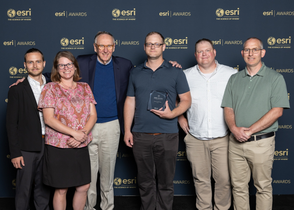
The Geographic Information System (GIS) team at the City of Lawrence has been honored with a Special Achievement in GIS Award from the ESRI organization. This prestigious award was presented to the team during the ESRI User Conference held in San Diego, Calif. from July 15-19, 2024. The award recognizes the team’s innovative use of GIS technology to enhance city operations and improve community services.
For those unfamiliar with GIS, it is a technology used to create, manage, analyze, and map all types of data. According to ESRI, GIS connects data to a map, integrating location data (where things are) with descriptive information (what things are there). This integration provides a foundation for mapping and analysis that is widely used in science and industry. The benefits of utilizing GIS include improved communication, efficiency, management, and decision-making.
Special Achievement Award for Sidewalk Network Model
The Special Achievement Award recognizes the City’s innovative sidewalk network model, which assists the City in making informed, data-driven decisions about sidewalk repairs and gap closures. Additionally, the model will be used to prioritize areas for sidewalk maintenance and reconstruction as we implement the ADA Transition Plan for the public right-of way.
The model provides a data-driven approach to identify priority areas based on potential pedestrian demand. It also considers demographic populations with transportation challenges, incorporating data from a local transportation disadvantaged populations analysis. The new model emphasizes equity and potential pedestrian demand in City decision making. It replaces a previous project selection process that relied on one-off requests and less sophisticated area selection.
The new GIS data modeling approach was crucial in creating a comprehensive program that both aligns with community goals for multimodal transportation and responds to public desires for improved walkability.
The Special Achievement in GIS Award from ESRI is a testament to the City of Lawrence team’s commitment to leveraging technology for better community services and efficient operations. Their innovative use of GIS technology sets a high standard for municipal services and showcases Lawrence as a forward-thinking community.
The City of Lawrence team members who were honored with the award are Darren Haag, Asset and Innovation Manager; Charles Myers, GIS Analyst; Jessica Mortinger, Transportation Planning Manager; and Micah Seybold, GIS Manager.
Media Contact: Michael Leos, Communication Specialist – MSO | mleos@lawrenceks.org
About the City of Lawrence
The City of Lawrence supports an unmistakably vibrant community with innovative, equitable, transparent and responsible local government. Together, we are creating a community where everyone can enjoy life and feel at home.