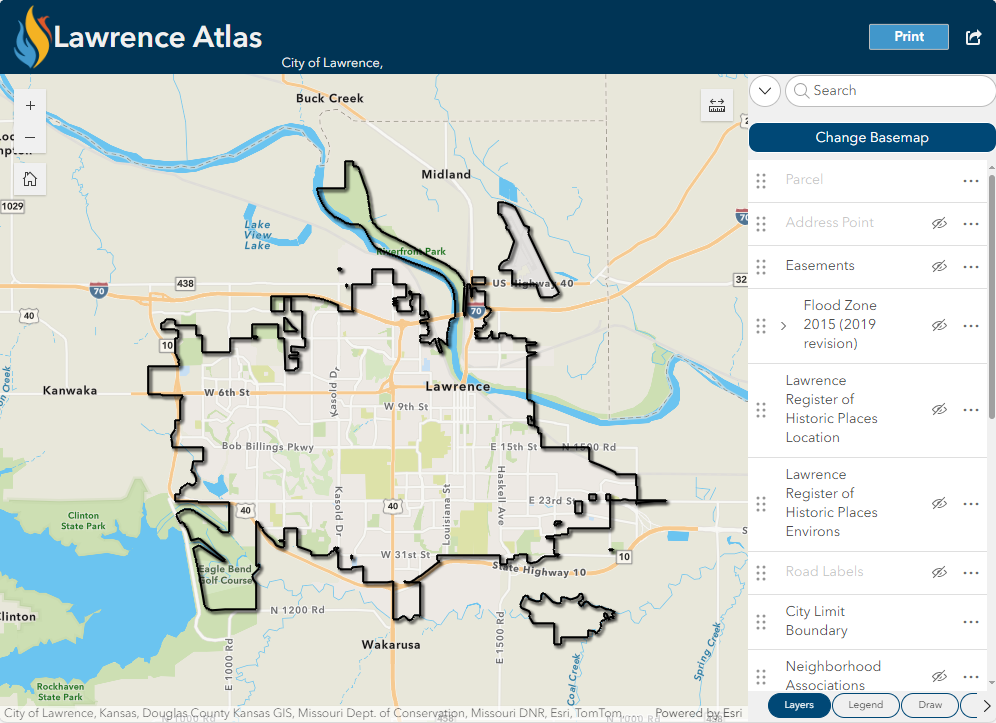
The Lawrence Atlas is a map where users can view information about Lawrence. Search an address, view aerial photography, find historic properties, discover if a property is in the flood plain, measure and draw on the map and print to PDF, JPG or other file formats.
The Download Lawrence Imagery map allows users to search addresses or locations to discover and download aerial imagery files.
Brick Sidewalk Permissive Area Address Lookup
Brick Sidewalk Permissive Area Address Lookup - search an address to see where brick sidewalks are allowed per the Brick Streets & Sidewalk Policy.
Crime Map
Crime Map of Lawrence, KS - visual representation of present and past criminal activity
City Facilities
Interactive map of City Facilities
Environmental Baseline Map
Flood Hazard Area Map
View 2015 and 2010 FEMA flood information: Flood Hazard Area Map
Historic Resources Map
Neighborhood Association Finder
Find your Neighborhood Association
Parking Map
Pavement Condition Index Map
Prime Soils Map
Snow Operations Map
Snow Operations Information and Maps
Stormwater Program Map
Tax Assessed Property Map
Interactive map of certified special assessments in Lawrence.
Transit routes
View Lawrence Transit Bus Routes
Traffic Counts
Traffic Camera Map
Trash, Yard Waste and Recycling Pick-Up Days
View trash, yard waste and recycling pick-up days through the city.
Truck Routes
Truck Routes PDF Map
Cemetery Map
NOTE: As of 3/3/2021 data is not updated due to new system implementation